Description
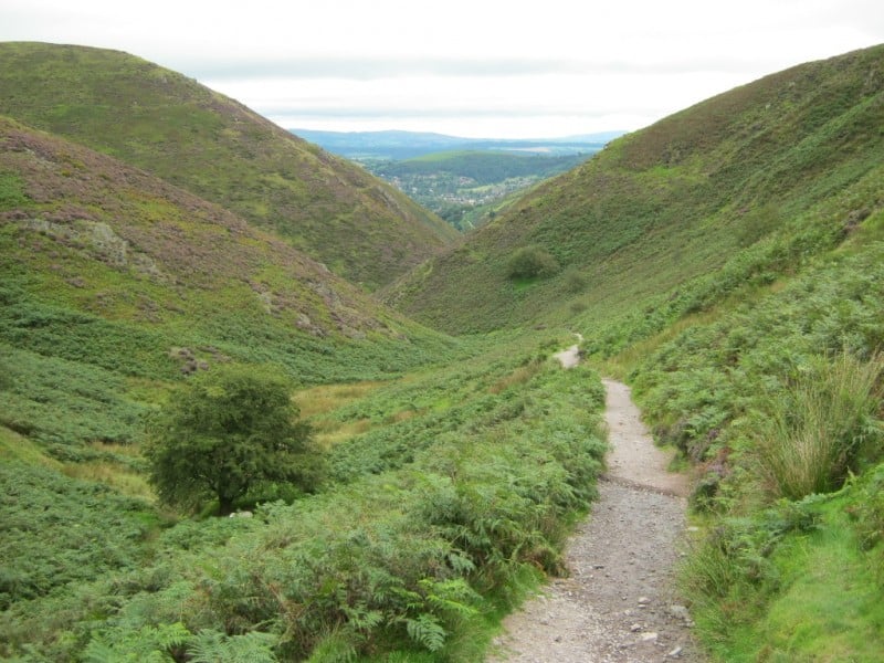
Long Mynd mountain bike trails are set in the Shropshire hills, near Church Stretton in Shropshire, England. There are 22 square kilometres of heathland terrain made up of a series of hills with steep gullies. The area is owned and cared for by the National Trust and has over 500 metres of height in altitude. It lies between the Stiperstones range on the west and the Stretton Hills to the east.
Like this?
Overview
- The Long Mynd is predominantly open moor, which means you will need a little bit of navigational skill and an idea of where you are heading to find your way. The payoff comes with the natural singletrack that you will often have mostly to yourself. The riding on Long Mynd is all about the trails down the many gullies, the most famous of which is the singletrack of Minton Batch.
Start Points
- One of the big advantages of the Long Mynd is that it can be accessed from different locations around the hill. Church Stretton and Carding Mill Valley are considered some of the best starting points. People also start from Hope Bowdler, Little Stretton, and The Bridges at Ratlinghope, which gives access to Eastridge Wood, the Stiperstones, and the Long Mynd.
Other Stuff
- Check out Mountain Edge
- The trails are shared with walkers and horse riders so please be considerate to other trail users.
Share
- If you have ridden any of these trails at Long Mynd then please come share your experience with us and maybe write a short review, and or post some pictures or videos to the listing. Many thanks.