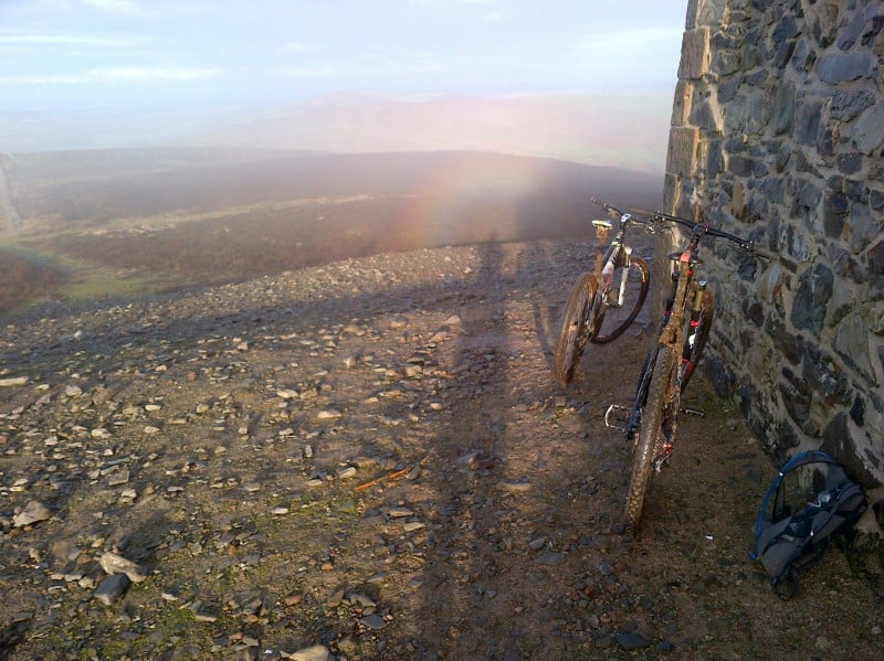
Description
Clwydian Range Mountain Bike Trails
The Clwydian Range mountain bike base spans natural trails across the hills between Loggerheads and Cilcain in North Wales. Nine waymarked routes cover the range: six blue and three red, plus a further red-graded loop from Cilcain covered by Mountain Bike Rider magazine. As a dispersed base rather than a single trail centre, facilities and waymarking vary by trailhead, so download a route or use GPS navigation before you set off.
The Trails
Ride North Wales, the area's dedicated trail guide, currently lists nine routes across the range:
- Ffrith Mountain Circular (blue, 12.4km) - a waymarked loop through Coed Moel Famau forest, graded and maintained by Natural Resources Wales.
- Cilcain Short (blue) - a short climb from Cilcain village up onto the ridge, with wide views across the range.
- Arthur 2 Times (blue) - an intermediate loop from Cilcain across open, scenic hillside.
- MBR's Killer Loop (blue) - featured in Mountain Bike Rider magazine's Killer Loop series.
- Over the Top (blue) - climbs to the highest point on the range open to mountain bikes.
- 4 Village Tour (blue) - a longer tour linking four villages in the area.
- Almost the Delyn (red) - based on the former Delyn Challenge endurance route.
- Going Backwards (red) - a remote, wilder-feeling loop best ridden clockwise.
- Loop de Loop (red) - five interlinked loops that let experienced riders mix and match distance.
Mountain Bike Rider magazine also covers an 11km loop starting at the pump house in Cilcain, taking in a bridleway around Ffrith Mountain, a reservoir descent and a stream crossing. It's a low-climb ride, good for short winter days.
Getting Here
The main gateway to the Clwydian Range trails is Loggerheads Country Park (CH7 5LH), just off the A494 between Mold and Ruthin, with pay and display parking. Several of the graded routes above start further north around Cilcain village, off the A541 Mold to Denbigh road, though parking in the village itself is limited and partly resident-only. An alternative car park for the Moel Famau side of the range is at Bwlch Pen Barras (CH7 5SH). Trails here cross Natural Resources Wales woodland and are subject to periodic closures and diversions for forestry operations, so check the Natural Resources Wales Coed Moel Famau page for current alerts before travelling. For more natural trail riding nearby, the Hiraethog mountain bike base is a short drive west.
Share
- If you have visited the Clwydian Range Mountain Bike Trails, please share your reviews, photos, and videos to this listing.