Description
Newcastleton Mountain Bike Trails is a 7stanes trail centre in the Scottish Borders, right on the border with England and not far from Kielder Forest. There's a red route and a blue route, plus a skills area, pump track and a spot of forest road riding away from the singletrack, all starting and finishing at the Douglas Square trailhead in the middle of Newcastleton village.
The Trails
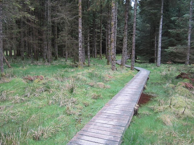
- Blue Route (Moderate): 9.7km, around 40% singletrack, allow 1 to 2 hours. A gentle introduction to mountain biking with forest paths, stunning views and some fun descents, well suited to families and newer riders. Locally known as The Caddrouns, its singletrack highlight is roughly 2km of flowing berms, boardwalk crossings and optional rock steps.
- Red Route (Difficult): 23.4km, around 50% singletrack, allow 1.5 to 3 hours. Fast, narrow singletrack through the forest with rock steps, bridge crossings, boardwalks and climbs to test your legs, plus a short black-graded raised timber section on route.
Trails at Newcastleton are subject to periodic closures and diversions for forestry operations and repair work. Always check the FLS Newcastleton bike page for current alerts before you travel.
Gravel Riding
- Newcastleton's forest roads give an easier alternative to the singletrack, graded as their own category within the national 7stanes grading system rather than waymarked as a single named route. Expect steady gradients and estate track surfaces rather than technical features, so download a route or use GPS navigation before you set off.
Skills Area and Pump Track
- A free bike skills park and pump track run by Rock UK Whithaugh Park sits right on the route to the main trails, with graded lines for practising skills alongside the pump track. Bring your own bike or hire one on site. It's run separately from the FLS trails but open to any 7stanes rider passing through.
Getting Here
- Park at Douglas Square in the centre of Newcastleton village (postcode TD9 0QD). All the 7stanes mountain bike trails start and finish here. Newcastleton lies on the B6357, which links Bonchester Bridge and Canonbie.
- Public toilets and free showers are just off Douglas Square, and there are a couple of cafes worth a stop afterwards, The Olive Tree and Copshaw Kitchen.
- For the walking trails, use Priest Hill car park (nearest postcode TD9 0TA), around 2 miles (3.2km) south of the village on the unclassified road.
Share
- If you have visited Newcastleton Mountain Bike Trails, please share your reviews, photos, and videos to this listing.