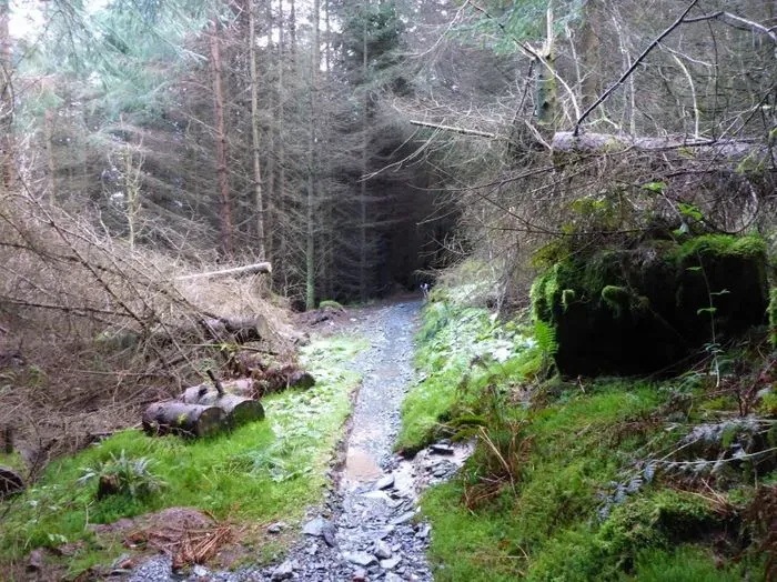
Description
Penmachno Mountain Bike Trails
The Penmachno Mountain Bike Trails sit in the Machno Valley on the eastern edge of Eryri (Snowdonia) National Park, a short drive south of Betws-y-Coed and close to their sister trail, Gwydir Mawr. Two red-graded loops, Dolen Machno and Dolen Eryri, can be ridden alone or joined together for a 30km cross country epic: Dolen Machno is 19km with tough climbs and fast technical descents, and Dolen Eryri is 11km of flowing single-track, boardwalk and technical stone trail. The trails are cared for by local volunteer group Menter Bro Machno, with a donation box at the trailhead helping fund ongoing maintenance.
The Trails
- Dolen Machno (Loop 1): 19km, red graded, with 560m of climbing. Tough climbs and fast, technical single-track descents with tight switchbacks.
- Dolen Eryri (Loop 2): 11km, red graded, with 206m of climbing. More flowing terrain, mixing sweeping single-track, carving boardwalk and technical pitched stone trail, with some of the best views in the area.
- Penmachno Trail (Loop 1 and Loop 2 combined): joining both loops makes a 30km epic ride. If you are not sure whether you want the full distance, start with Dolen Machno: Dolen Eryri joins at the halfway point, so you can decide once you are out on the trail.
Trails at Penmachno are subject to periodic closures and diversions due to forestry operations. Always check the Natural Resources Wales Gwydir Penmachno page for current alerts before travelling, and follow any on-site diversion signage.
Local Organisations
Penmachno Mountain Bike Trails are looked after by Menter Bro Machno, a local volunteer community group. There is no charge to ride: a donation box sits at the trailhead noticeboard, and 10% of donations go back into wider community projects.
Getting Here
The trailhead car park is signed off the B4406 in Penmachno village. From the A5, take the B4406 into Penmachno, cross the bridge and bear left past The Eagles pub. Continue for about half a mile: the trailhead, information board and free car park are up the forest track on your right. Overnight parking is not permitted. There is no postcode that takes you directly to the car park: LL24 0YP is the nearest postcode, for the village itself.
Penmachno village has a small Londis shop, public toilets and a defibrillator if you need them before or after riding. The nearest bike repair shop is the Conwy Valley Bicycle Workshop in Betws-y-Coed, about a 15 minute drive away.
Share
- If you have visited Penmachno Mountain Bike Trails, please share your reviews, photos, and videos to this listing.