Description
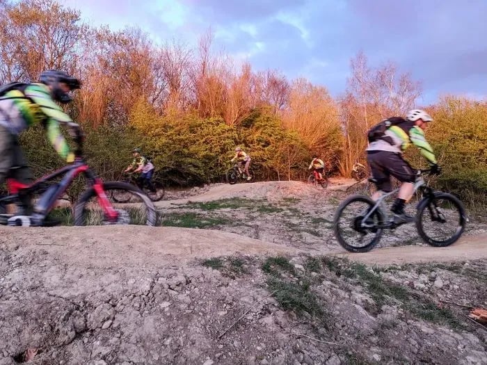
Rother Valley mountain bike trails are situated in Rother Valley Country Park in Sheffield. Fully waymarked from the trailhead map board, the network includes red, blue and green graded MTB routes, a black downhill run, a jump track and a dedicated gravel-friendly route for wet-weather riding. The terrain has a clay base, so trails can become muddy in wet conditions.
The volunteer community (facebook.com/rothervalleyriders) is active in organising dig days to maintain and develop the trails. All development is co-ordinated exclusively through the Rother Valley Riders, a club with over 150 members, with the support of Rother Valley Country Park and Rotherham Borough Council. Trail contractor Bike Track has also carried out professional trail builds on site. You can also view the current cycle and trail map (PDF).
Rother Valley Red
- 6.5km XC loop, fully route-marked, for experienced riders, with climbs, descents, technical features and woodland singletrack, including the Lung Buster climb. Starts from the main map board in the newer car park.
- Digger's Downhill: 650m all-season section within the red network, 27 berms, multiple small jumps, steep and fast.
Drift Woods, Blue
- Around 4km, beginner and intermediate, starts from the main map board in the newer car park, fully signed, wide tracks, bridleways and twisty woodland singletrack, including the Axel Trail section.
- Drift Woods itself: around 1km weather-resilient blue and red trail split into 3 sections: Graveyard, Bike Track-built End Game (berms, tables, 43 rollers), and Orchard (unsurfaced).
Rother Valley Green
- 5km flat family-friendly loop around both lakes, wide all-weather surfaced park tracks, not fully signed (riders follow main paths), suitable for all bikes including bike-ability adapted cycles.
Fort Elbow and Buzzard Banger, Black Downhill
- Around 1km of steep, twisty downhill in Buzzard Wood, reached via a gravel climb shared with the red route. Jumps, drops, rock gardens and berms throughout. Advanced riders only.
Jump Track
- One of the earliest riding features built on site, linking towards Waleswood.
Gravel Riding
- Avoid the Gloop: 10.5km route using hard-surfaced tracks only, for avoiding muddy sections when the clay-based singletrack turns boggy. Links durable paths within the park, including the dedicated Gravel Track and Gravel Climb sections near the red and black network.
- Sits on National Cycle Network Route 6, with traffic-free links towards Rotherham, Derby, Castleton and beyond.
- Connects directly to the Trans Pennine Trail for longer distance riding towards Sheffield, Chesterfield, Leeds and the coast-to-coast routes.
- Popular out-and-back: Trans Pennine Trail to Poolsbrook Country Park, around 10km each way.
Beyond the Trails
- The Stables Cafe, in a Grade II listed 18th-century building in the Courtyard, serves snacks and light meals daily. The separate Waterfront Cafe overlooks the main lake.
- Watersports and Activity Centre: cable waterski and aqua park, sailing, windsurfing, paddleboarding and kayak hire on the main lake.
- Coarse fishing at Nethermoor Lake, Northern Lake and the River Rother.
- Golf course and golf centre within the park.
- Waleswood Caravan and Camping Park, an award-winning 5-star site, for overnight stays nearby.
- Miniature train rides, play areas and a nature reserve with lakeside trails.
Getting Here
- Do not rely on the postcode in your sat nav, it takes you to an industrial estate nearby. From the M1, take Junction 30 or 31, follow the A618 and the brown tourist signs to Rother Valley Country Park. The park entrance is off the A618, between Killamarsh and Wales Bar.
- Head for the Activity Centre and Cycle Hire car park, next to the Courtyard, for the main mountain bike trailhead and map board.
- Pay-and-display parking applies across the park, with a season ticket available from the Park Office.
- Nearest bus stops are around a mile from the park boundary. The nearest tram stop is Waterthorpe on the Blue Route to Halfway, around 2.5 miles from the park centre on foot.
Share
- If you have visited Rother Valley Mountain Bike Trails, please share your reviews, photos, and videos to this listing.