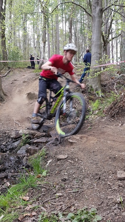
Description
Chopwell Wood is a 360-hectare Forestry England woodland near Rowlands Gill, south of Newcastle, with a red trail, a black trail, some genuine off-piste, and a network of waymarked forest-road loops that work well on a gravel bike. Chopwell Pump Track, a separate purpose-built facility in Chopwell village, sits about 2.3km away and is covered in its own listing.
The Trails
- Powerline (Red) - 4km (2.5 miles), fast and technical, built in partnership with Forestry England. Starts at the main car park and runs beneath the powerlines down to the River Derwent.
- Article 50 (Black) - a harder, unsurfaced optional section off Powerline, for confident riders only.
- Off-piste - an unsanctioned, unmarked network exists elsewhere in the wood, so download a route or use GPS navigation before you set off. Nothing here is maintained or waymarked.
- The rest of the wood is multi-user forest road, shared with walkers, horse riders and dog walkers - keep speeds sensible.
Trails at Chopwell Wood are subject to periodic closures and diversions due to forestry operations. Always check the Forestry England Chopwell Wood page for current alerts before travelling.
Gravel Riding
The Boundary Walk, waymarked orange, circles the wood on forest road and woodland path and is Forestry England's toughest waymarked route here, with genuine climbing. It splits into a North Loop and a South Loop from the main car park, roughly 3.5km and 5.5km, or can be ridden as a full circuit of around 7km. For an easier, flatter option, the Old Railway Line follows a former colliery railway on wide, level forest track for about 2.2km.
Local Organisations
Chopwell Trail Builders, who maintained the Powerline for many years, disbanded in 2022. Trail maintenance is now carried out by Forestry England staff and informal volunteers. Friends of Chopwell Wood is the wider woodland charity for the site (not MTB-specific) - friendsofchopwellwood.org.uk.
Getting Here
- Chopwell Wood Main Car Park, Hooker Gate, High Spen, Gateshead, NE39 1LT (satnav: NE39 2AG). Free, open 24 hours, two accessible bays.
- Not signposted until the entrance in High Spen village off the B6315.
- Bus route 47 (Go North East) runs from Newcastle city centre, Newcastle Central Station and the Metrocentre; the nearest stop is on Hookergate Lane in High Spen.
Share
- If you have visited Chopwell Wood, please share your reviews, photos, and videos to this listing.